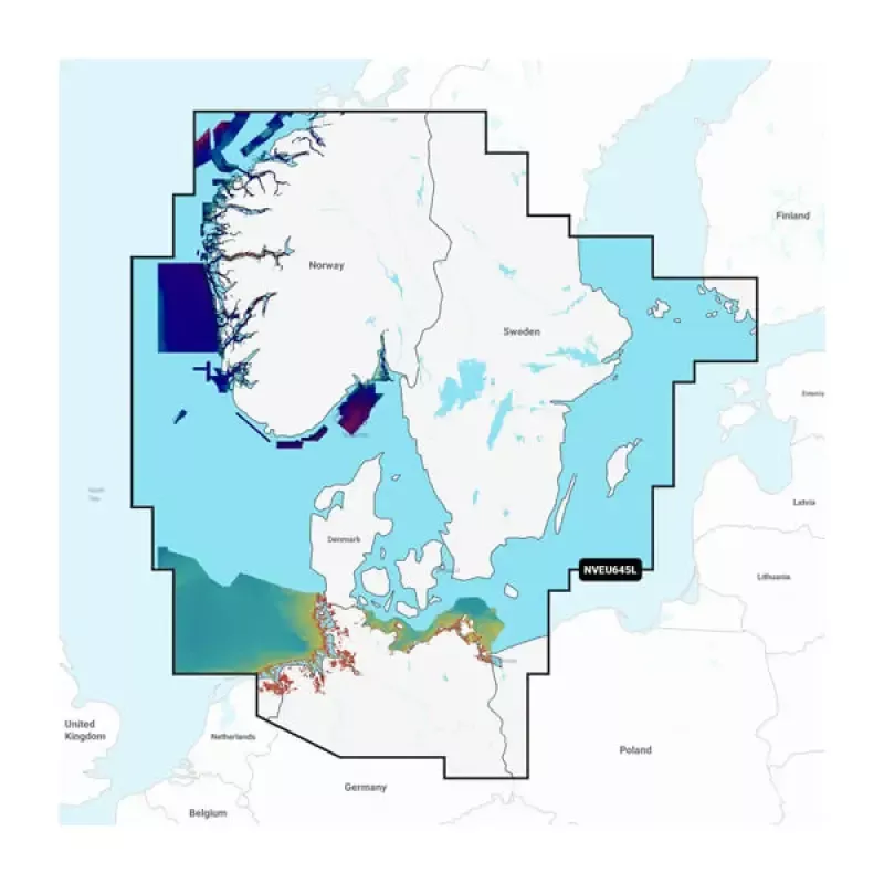
Garmin Carto 010C127400 Skagerrak & Kattegat Garmin Navioni
Elevate your marine navigation experience with the Garmin Carto 010C127400 Skagerrak & Kattegat Garmin Navioni. This premium cartography solution is specifically designed for boating enthusiasts navigating the beautiful waters of the Skagerrak and Kattegat regions. With detailed maps and essential marine data at your fingertips, you can confidently chart your course and explore with ease.
Key Specifications
- Part Number: 010C127400
- Coverage Area: Skagerrak & Kattegat
- Data Format: Garmin Navionics
- Map Scale: 1:25,000
- Update Frequency: Quarterly
- Compatibility: Garmin Marine Devices
List of Features
- High-Resolution Mapping: Enjoy stunning, clear visuals of the underwater landscape.
- Real-Time Updates: Access the latest navigational data for safe and accurate sailing.
- Advanced Charting Tools: Utilize features like depth contours and tide data for better planning.
- User-Friendly Interface: Easily navigate through menus and settings for a seamless experience.
- Compatible with Multiple Devices: Use on various Garmin devices, making it versatile and convenient.
With the Garmin Carto 010C127400 Skagerrak & Kattegat Garmin Navioni, you gain unparalleled access to detailed marine charts and essential navigation tools. Perfect for both novice and experienced sailors, this product enhances your maritime adventures. Don’t miss out on your chance to navigate like a pro—order yours today!